Geology trains me to look closely at patterns, context, and what a surface may be telling me.
Frontend developer · Geospatial developer
Great Sage · Nigeria
I build for the
web and map
what lies beneath.
Frontend developer and geology student. I create useful web experiences and bring my interest in the physical world into geospatial software.
The interface is the surface. Frontend work, made useful.
Geology × web × GIS — a practice in progress.
 Moshood Habeeblai Opeyemi / Great Sage
01 / Work in the wild
Selected work.
A selection of frontend projects: useful interfaces, digital products, and small experiments.
01 / Frontend · The surface
06 projects

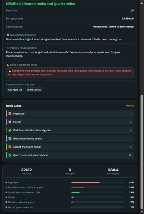
Oyo East & Environs Geological Map
A regional basement geology map covering 384.4 km² across Oyo East, Afijio, and border sectors. The project is still in progress.

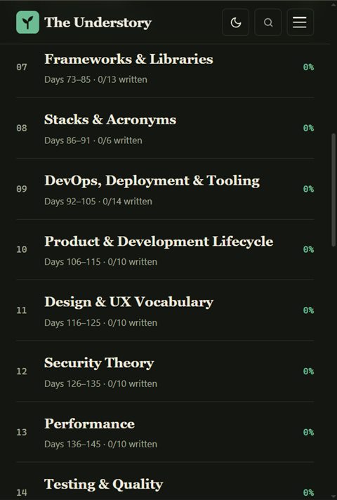
The Understory
A reading experience for the vocabulary, history, and mental models behind everyday programming. Its published roadmap spans 18 modules and 193 days.

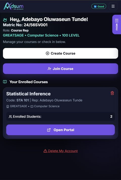
Adsum
A course attendance platform with student and adviser accounts, course reps, roster tools, and class check-in using a rotating PIN or QR.

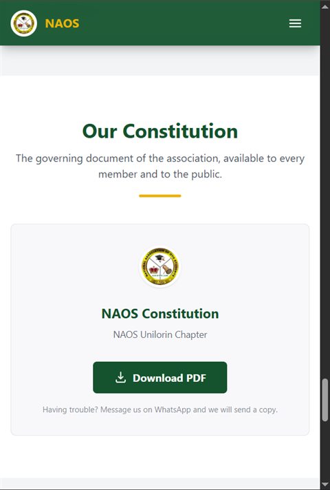
NAOS Hub
A web presence for the National Association of Oyo Students, Unilorin Chapter.

AccessHub
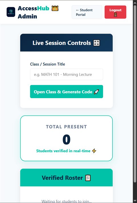
A live-session check-in page where registered participants enter their email and the code provided by the instructor.

The Great RGB Color Game
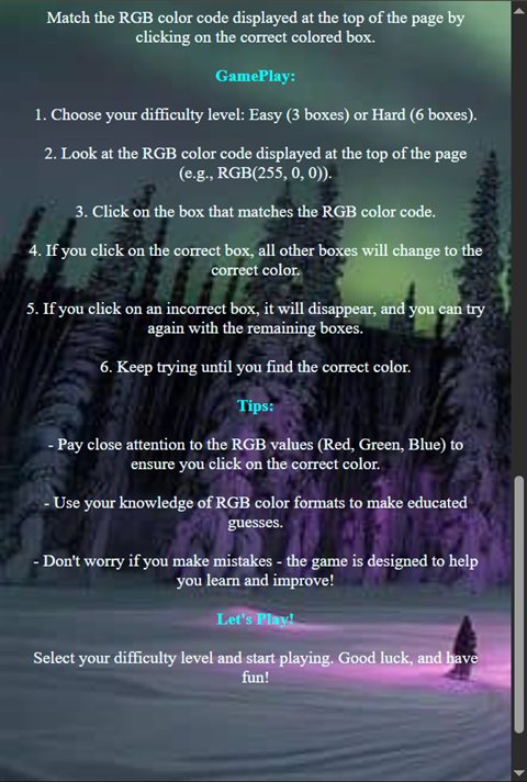
A color-guessing game built around the RGB color model.

Grandeur Tailors
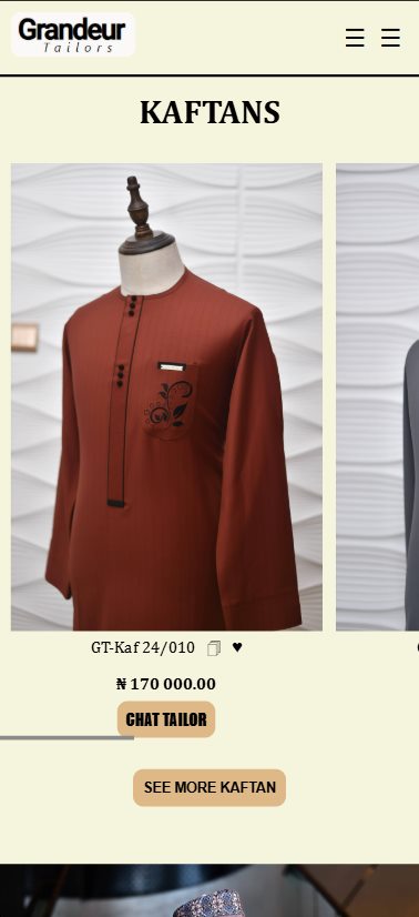
A brand website for a tailoring business, centered on craftsmanship, style, and customer satisfaction.
 A note from the developer
02 / About
Two ways of
Two ways of
seeing the world.
I’m Moshood Habeeblai Opeyemi — a geology student at the University of Ilorin, building for the web and growing into geospatial work.
Frontend development gives me a way to shape what people see and use. Geology keeps me curious about the systems beneath the surface. I’m drawn to the space where those interests meet: maps, spatial information, and thoughtful digital tools.
A screen can make a place legible. So can the ground itself.
Right now, I’m building an interactive geology map for Oyo State as part of my SIWES placement, and continuing to learn through projects that make ideas useful to real people.
03 / Toolbox
What I’m working with.
Tools I use to shape and build on the web. A working toolkit, not a claim of mastery.
Frontend / the surface
 HTML
 CSS
 JavaScript
 React
 TypeScript
 Tailwind CSS
 Node.js
Geospatial / the ground
 QGIS
 Leaflet
 Google Earth
Engine
Turf.js
Spatial analysis
Cartography
Workflow & deployment
 Git
 GitHub
 Vercel
 Cloudflare
Workers
04 / Field notes
Curiosity, in practice.
A few things that keep shaping how I learn and make.
I learn by making real things—from small browser experiments to tools people can visit and use.
The Understory is my ongoing attempt to make the ideas beneath programming easier to understand.
05 / Good questions
A few things you might be wondering.
A clear picture of what I build, what I’m learning, and how we could work together.
Still curious? Let’s talk01What frontend work have you built?
My live work includes Adsum, a course attendance platform; NAOS Hub, a student-association website; and The Understory, a reading experience about programming. There are also smaller projects in Selected work, so you can explore the actual sites.
02What is The Understory?
It’s a reading experience for the vocabulary, history, and mental models behind everyday programming. I started it to explain ideas I wish I’d understood earlier in my learning.
03How do you approach building a website?
I learn by building: start with a real problem, make a working version, then test and improve it. The projects on this page are live, so you can see the results rather than relying on claims.
04What kind of frontend project is a good fit?
Websites and small web apps are a good fit. Tell me what you need, who it’s for, and your timeline; I’ll be honest about whether it suits my current experience.
01Why combine geology and web development?
Geology taught me to read evidence in landscapes. Code lets me share what I read with anyone. I’m interested in bringing geological information out of PDFs, paper maps, and specialist software into browser-based tools people can explore.
02What does a geospatial developer do?
A geospatial developer builds software that works with location: web maps, spatial-data tools, and dashboards that answer “where?” questions. GIS analysis often focuses on analyzing data and producing maps; geospatial development builds interactive tools people use to explore them. I’m growing into this work with a geology background.
03What can I explore in your Oyo East map?
It’s my in-progress regional basement geology map for Oyo East, Afijio, and border sectors. The browser map includes search, layers, and rock-unit details. Open the live project to see its current state.
04Can you help make my location data interactive?
If you have coordinates, addresses, boundaries, or survey data, send a small sample and describe what you want the map to answer. I’ll review what’s possible and tell you honestly whether it fits my current experience before you commit.